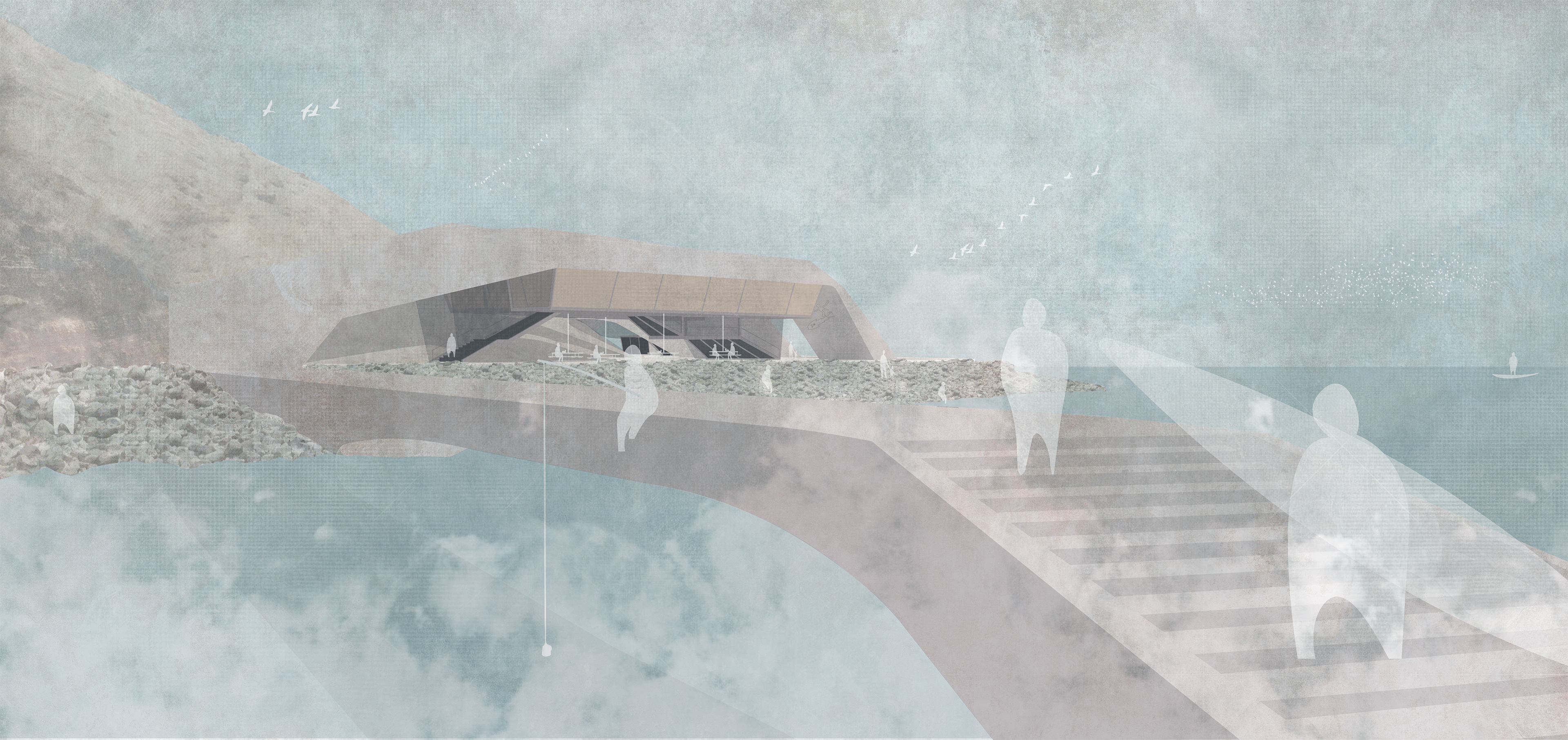
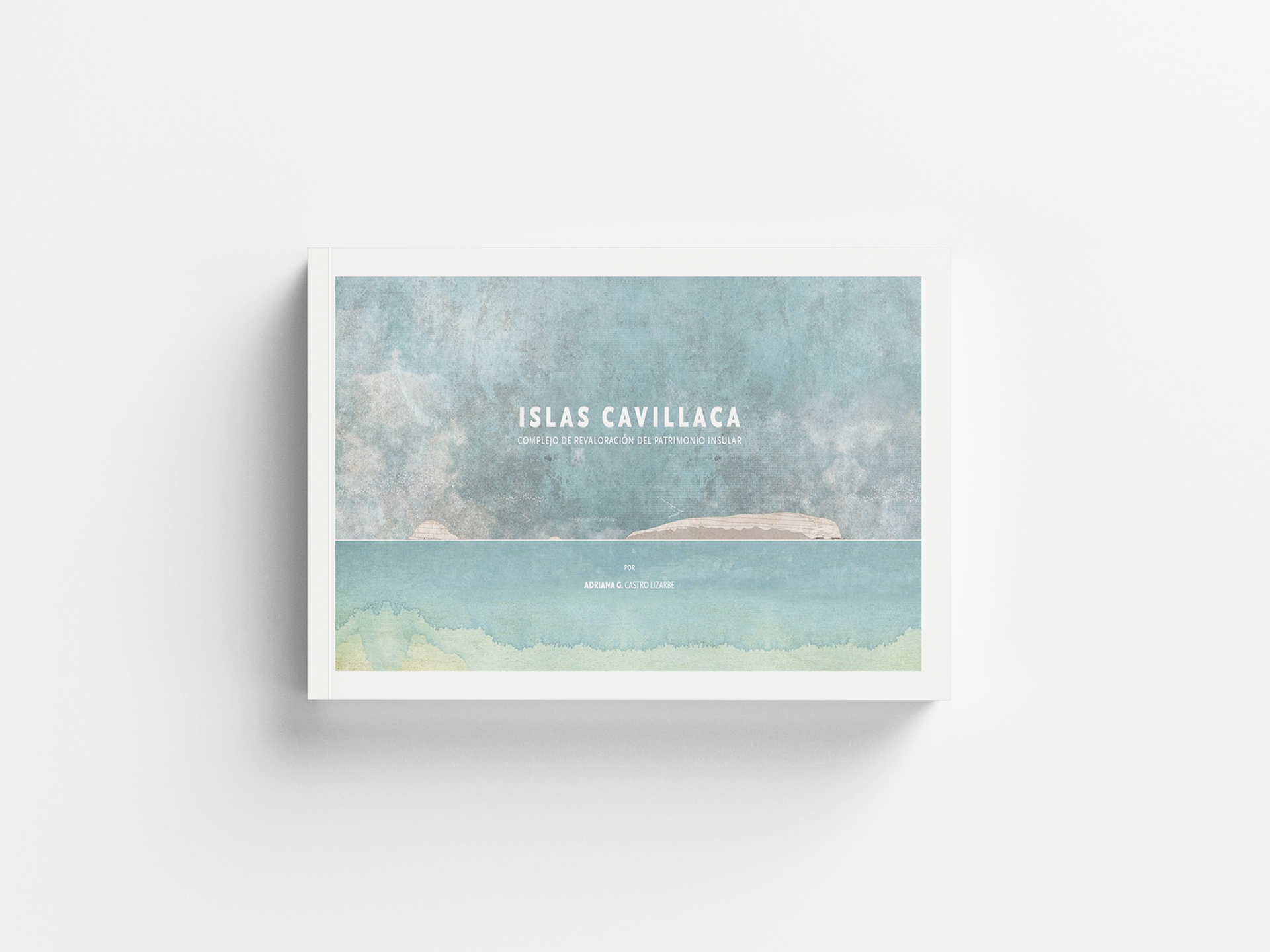
The 27-acre set of islands, located 2 km off the coast of the Lurín Valley, is part of the Islands, Islets, and Guano Capes Peruvian National Reserve. This project consists of several interventions at different scales along the valley, aimed at revaluing its insular heritage, which has been significant since Pre-Columbian times, as recounted in the myth "Cómo sucedió Cuniraya Viracocha en su tiempo y cómo Cahuillaca parió a su hijo y lo que pasó."
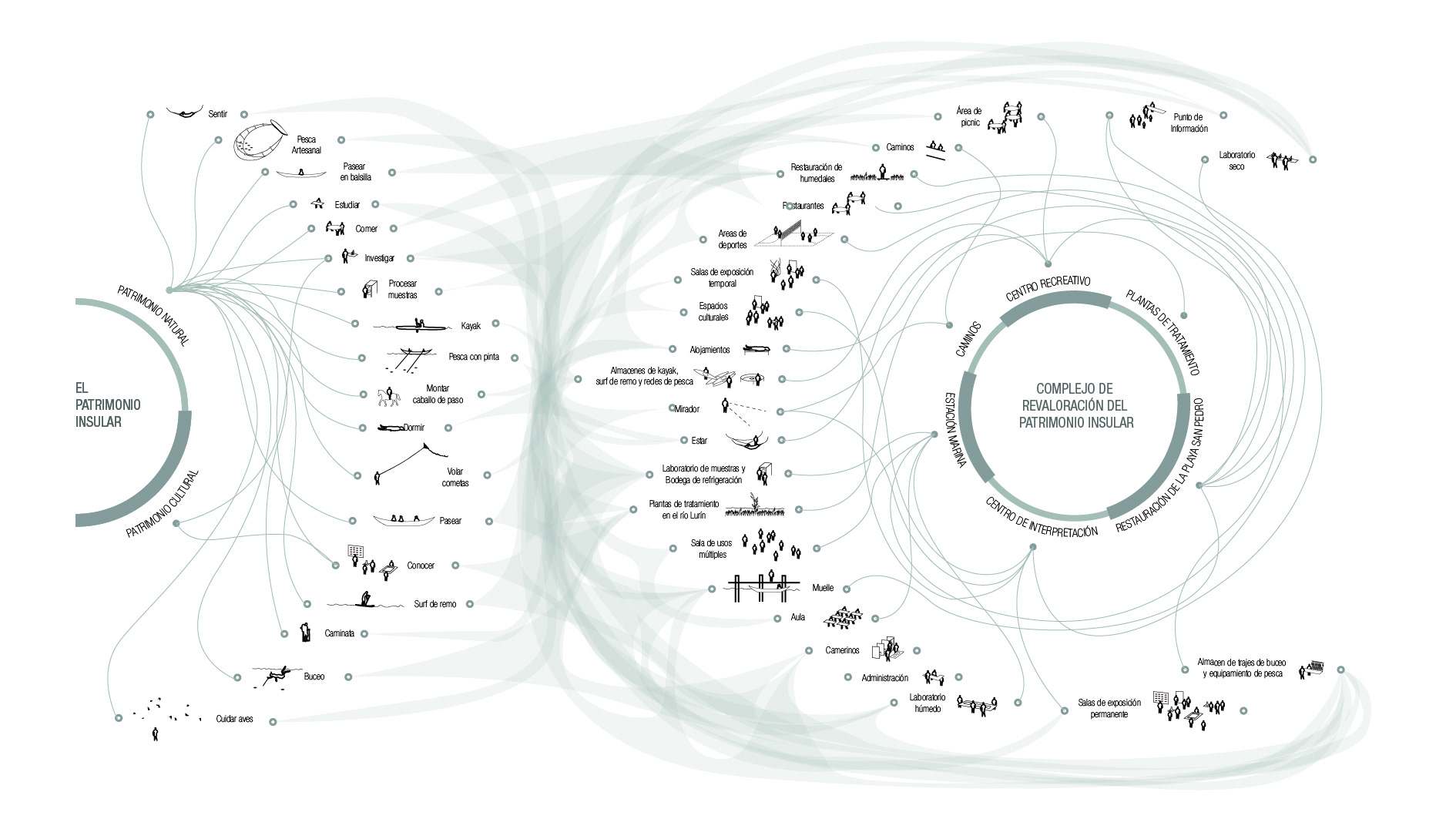
This unique insular heritage fosters a variety of cultural, sports, educational, and recreational experiences. These activities require dedicated spaces and landscape interventions, which together define the essence of the project.

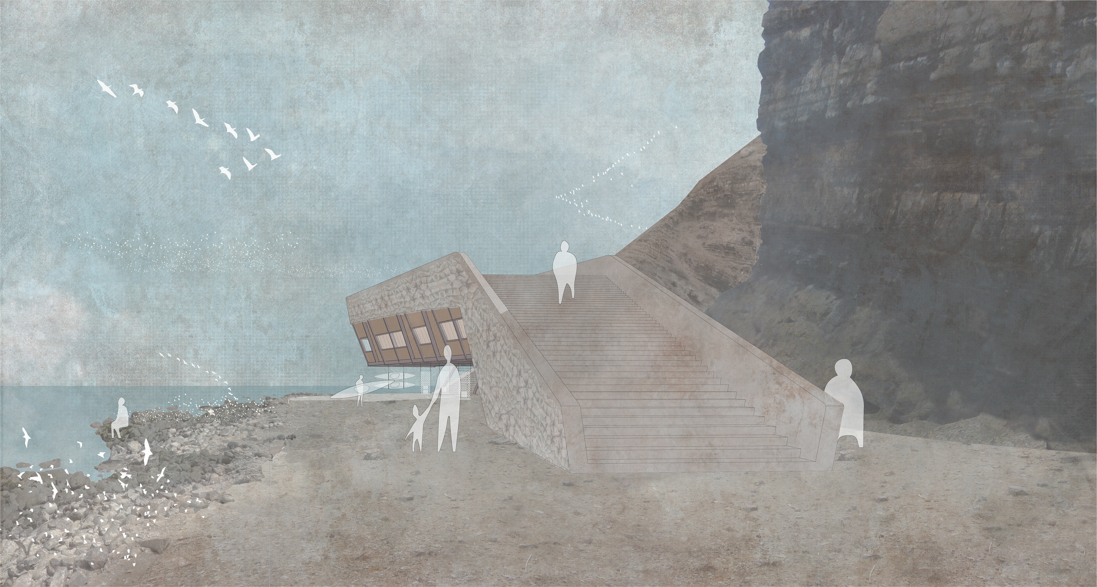
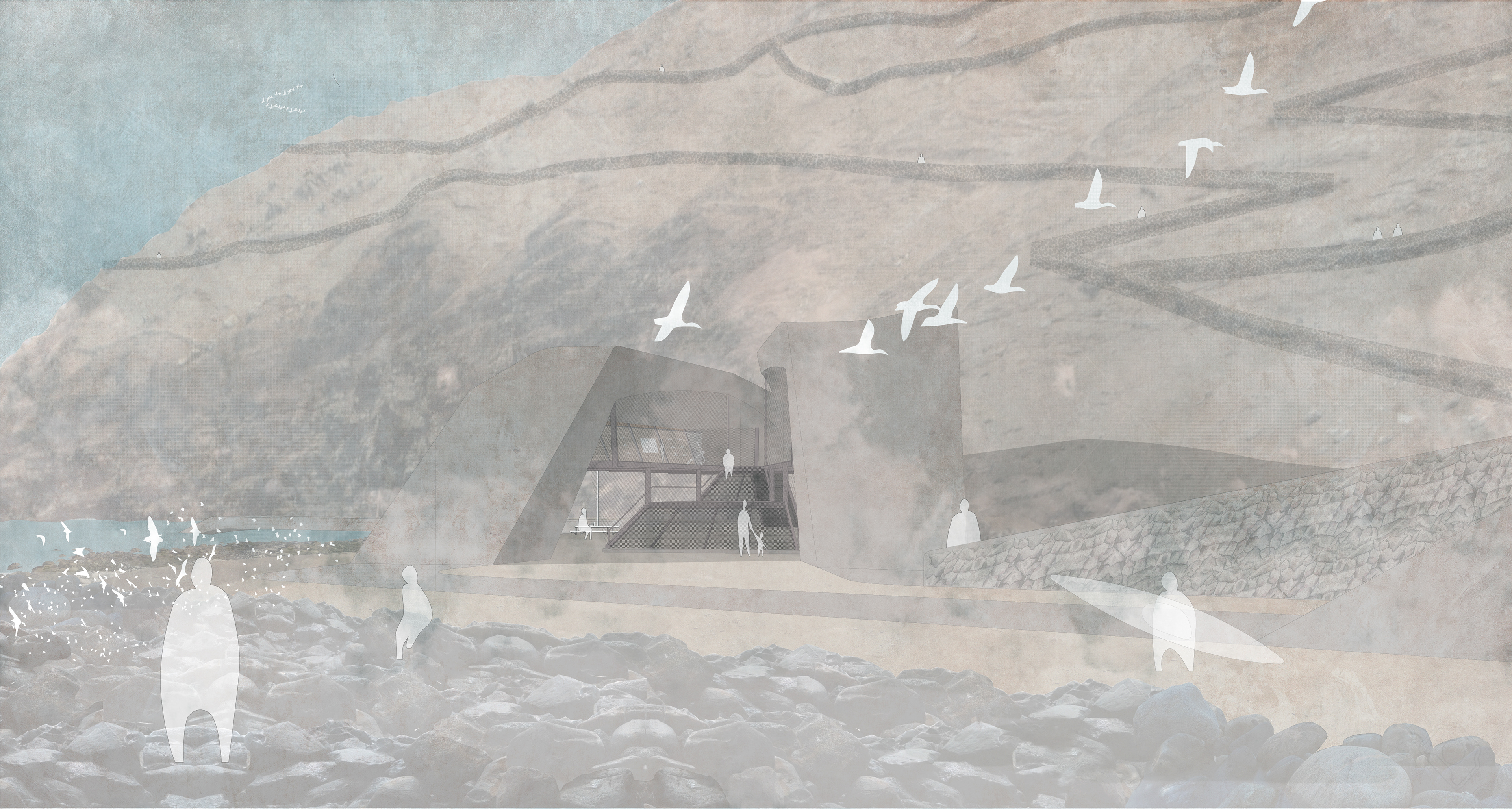
An architecture that takes form according to the different characteristics and peculiarities of the insular landscape.
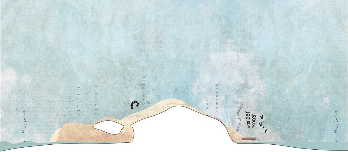
This mental map analyzes both sides of the island. From the Pacific Ocean, the island appears as a territory inhabited by birds, characterized by morphological cavities and rough tides. On the other hand, from the coastline, it is seen as a silhouette due to its cliffs, with an entry point in its submarine topography towards the northern part, where signs of human presence can be found.
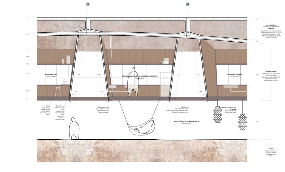
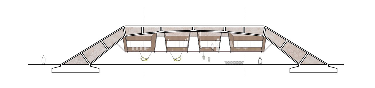
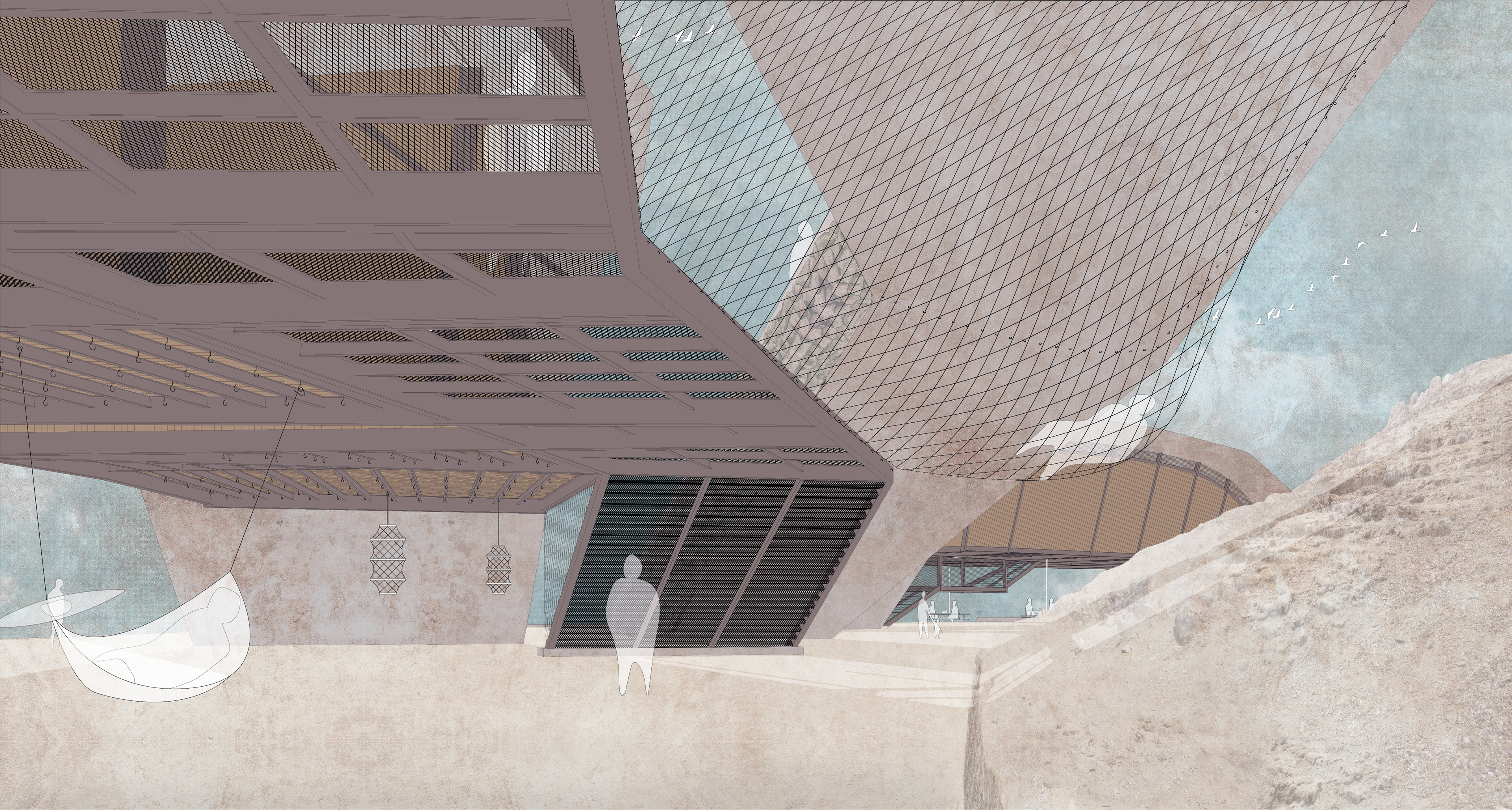
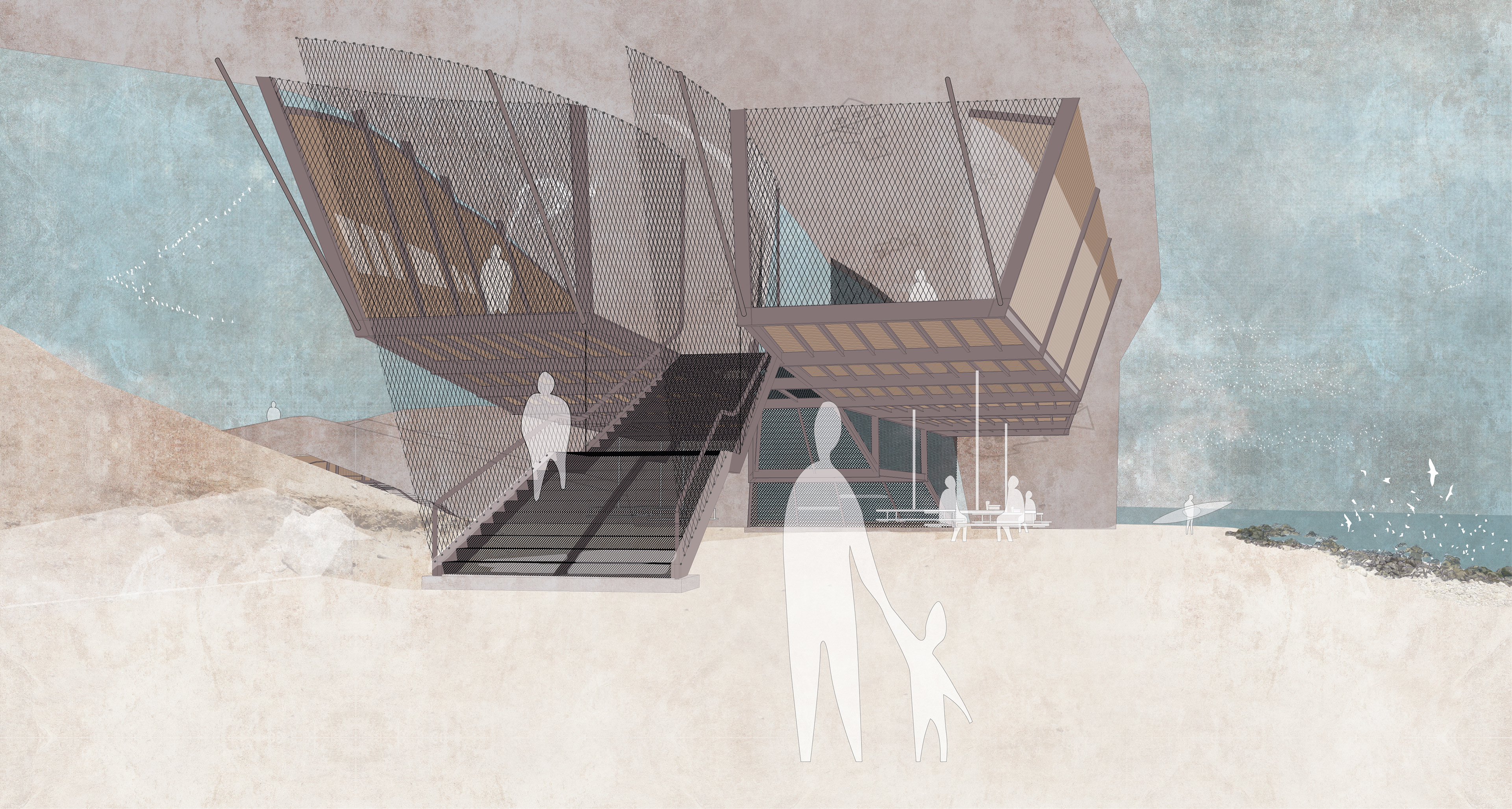
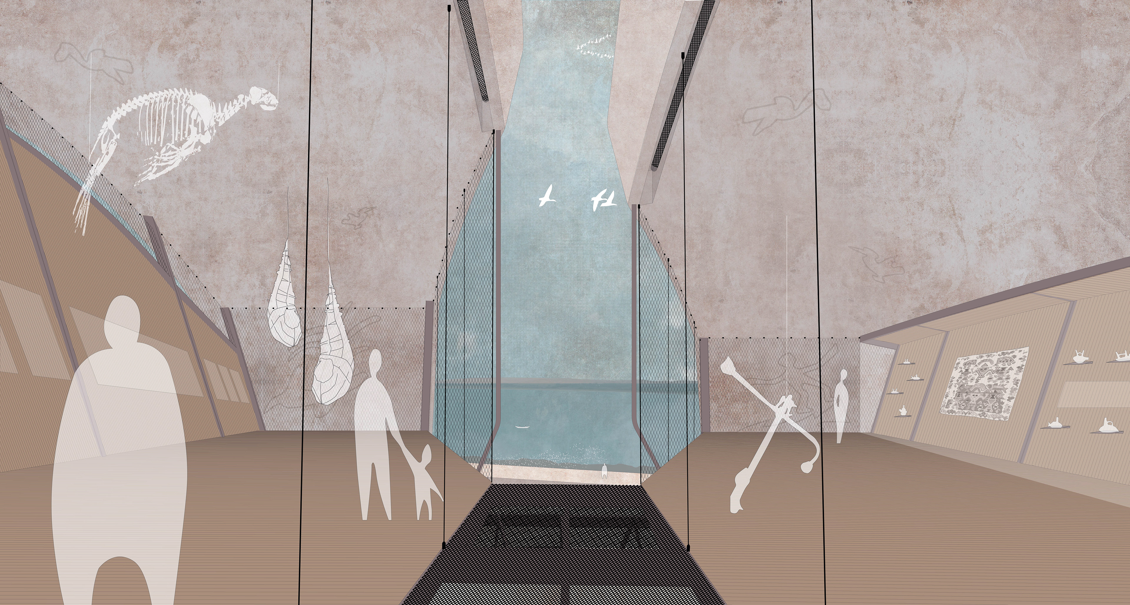
The proposal features two main types of spaces. Recreational areas are located on the ground floor and are defined by hanging furniture, creating an interactive experience with the environment. Meanwhile, enclosed spaces are placed on suspended platforms, housing an interpretation center, a marine station, and additional services.
Structurally, the design is based on a post-tensioned concrete ribbed slab, from which a steel framework suspends the secondary structures. This system allows for adaptability to the site's environmental conditions while preserving the natural landscape.